Flexible survey configuration
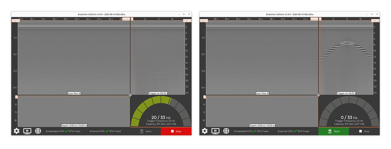
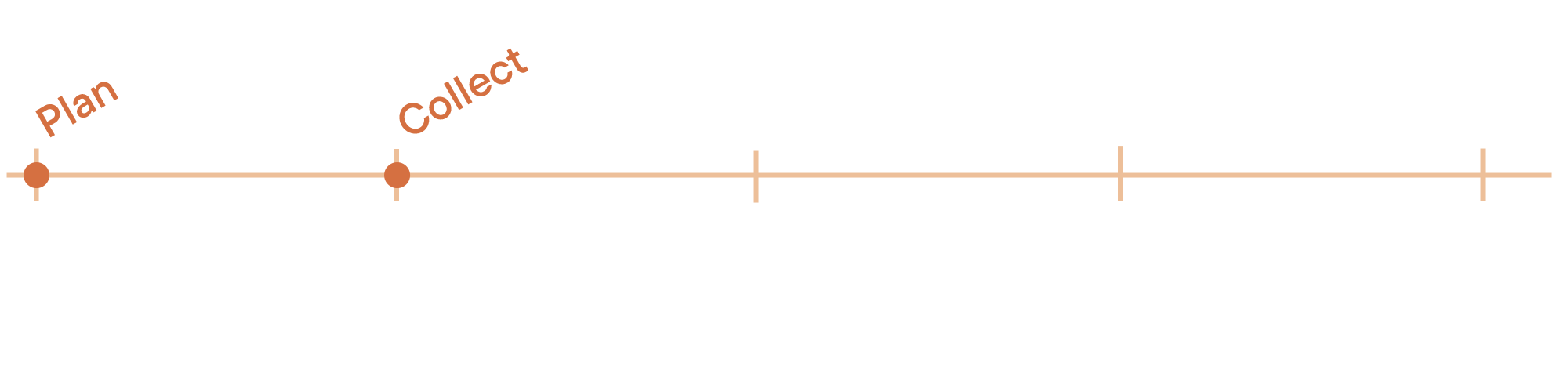
Set up your collection parameters – depth, update rate, positioning – before starting the job, ensuring full control over the data quality.


Efficient, Reliable & Connected Surveys


Kontur sensors are controlled by Examiner Collect, allowing you to define the survey density, depth, and driving speed required for each subsurface project. Examiner Collect is designed for operators who need fast, accurate, and user-friendly field data acquisition. It supports every stage of the survey –from planning and controlling GPR data to real-time monitoring and post-survey validation. Engineered to boost confidence in the field, reduce manual effort, and seamlessly integrate into your workflow, Examiner Collect puts control at your fingertips. With Kontur’s connected workflow, you can monitor the entire data capture process in real time – ensuring optimal data quality, full area coverage, precise positioning, correct driving speed, and secure data storage. Our system ensures quality assurance throughout the survey, making sure all data is captured in line with project requirements. This not only saves time in the field but also improves overall data quality. Thanks to seamless integration between Kontur ExC and ExS, you can plan your survey in advance, set up the system correctly, and collect only the data you need—eliminating the need for over-collection "just to be sure.

Set up your collection parameters – depth, update rate, positioning – before starting the job, ensuring full control over the data quality.
Monitor your data as you collect, including system status, temperature, available storage, and now also GNSS signal quality.
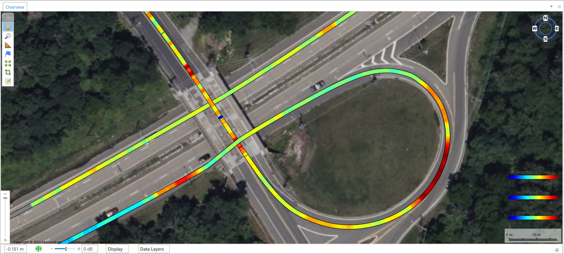
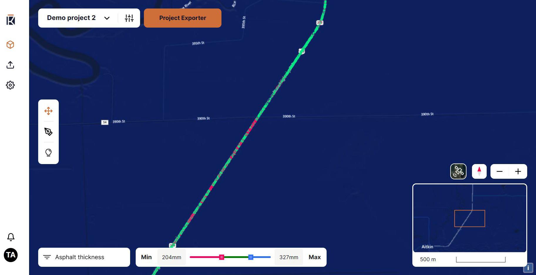
Visualize your survey directly on top of base maps for better navigation and orientation.
Overlay geo-tagged images to compare and correlate with collected data.
Import vector data and boundaries to assist planning and execution.
Tailor your antenna and sensor configurations with full support for complex survey designs.
Monitor signal quality live to ensure optimal data precision.
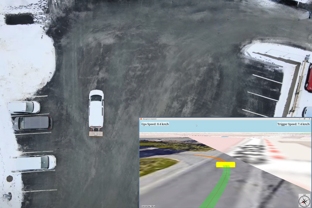
Visualize your planned path for better coverage and consistency in your survey lines.
Navigation Assistant – trajectory and survey area. Multiple passes and possible overlap are illustrated with color in a georeferenced map view.
Seamless integration with your existing systems and workflows.