- Low exposure to field team
- Pavement condition and utility locations are collected in the same survey
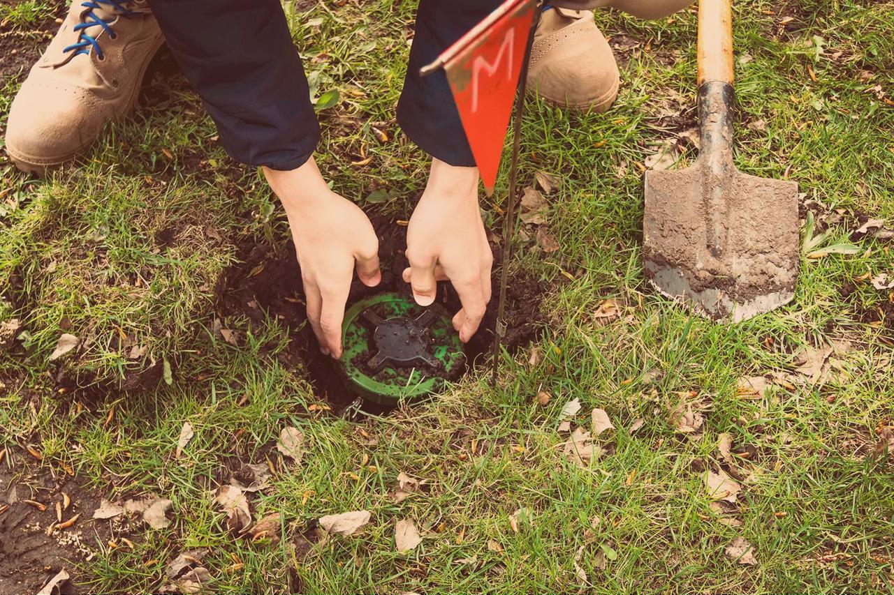
- Reduce risk of utility strikes
- Minimal need for runway closure
- Help plan pavement maintenance schedules
- Non-destructive, objective & repeatable
Applications
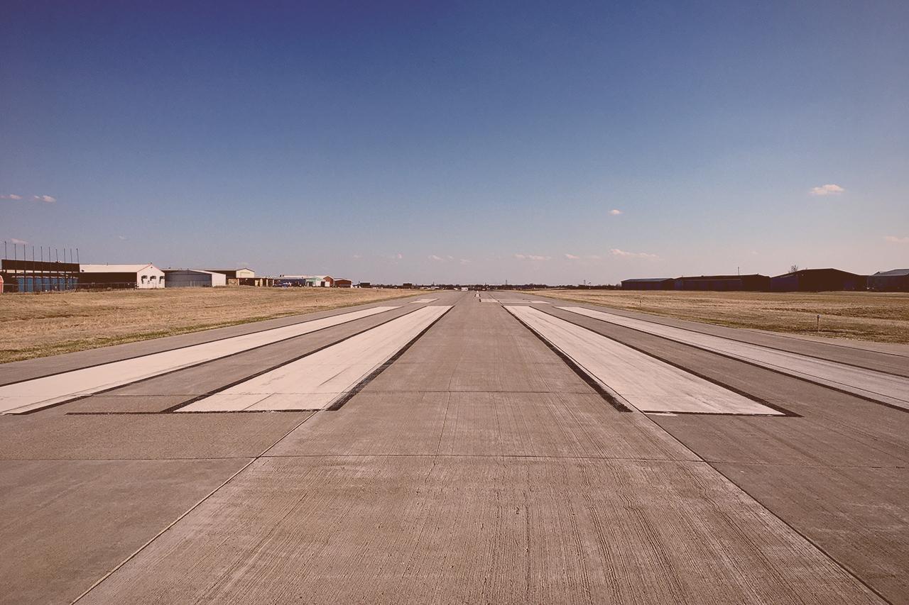
Airports
Complete a full subsurface mapping in the blink of an eye. Avoid runway closures and prevent costly acute maintenance.

Add Value to Airport Investigations
Typical Survey Requirements
- Accurately mapping the position of buried
utilities (x,y,z) - Identifying buried structures
- Layer thicknesses
- Reinforcement cover, location, and depth
- Reinforcement health assessment
- Location and extent of material distress ( e.g. severe
delamination and spalling) - Locations and extent of variation in material
properties - Location and extent of voids
- Locations with high moisture
Industry-leading Insights
Take a look at some real-world examples of Kontur’s technology used in airports.

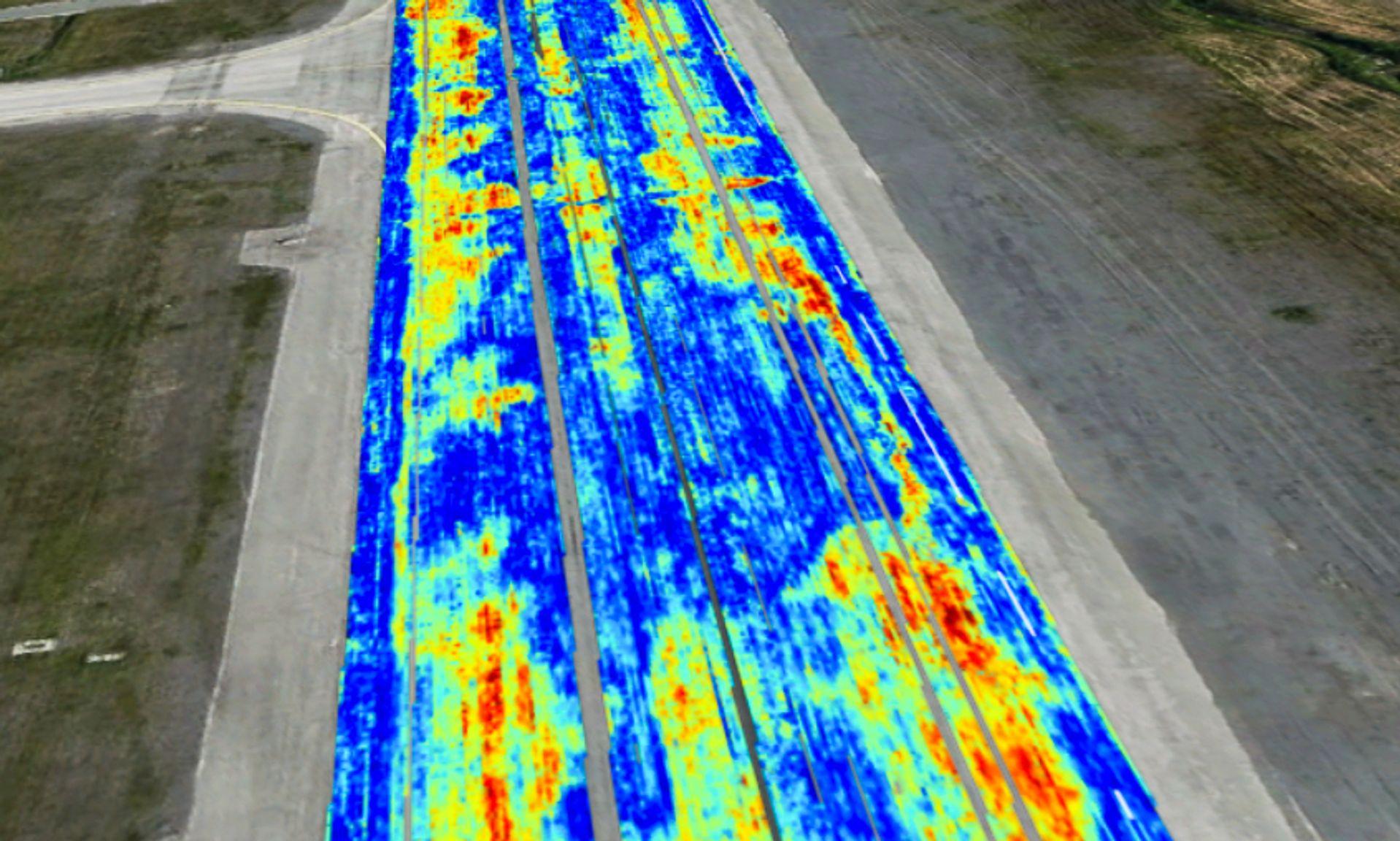
Our sensors are ideal for use within an aviation environment. Providing insights into multiple subsurface assets found within an airport. Vast areas can be rapidly collected in time-sensitive and restricted areas.
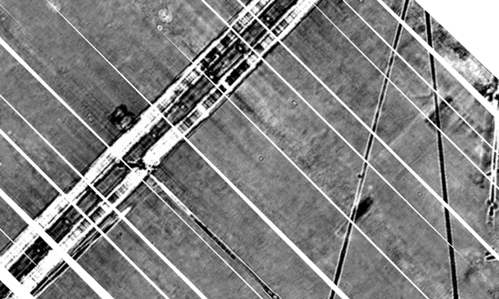
Our subsurface imagery provides insights that reveal the position and depth of utilities in an intuitive and efficient software platform.
The results enable engineers to assess the existing and abandoned infrastructure when designing or considering intrusive works.
Our technology provides a single data set filled to the brim with information. One data set can be utilized by multiple engineers involved in a project.
Data collection is fast, simple, and repeatable. Our technology enables an efficient, non-destructive method of understanding and monitoring how pavements are constructed and performed over time.