- Efficient data collection
- Produce clear imaging of the subsurface
- Reduce project design changes
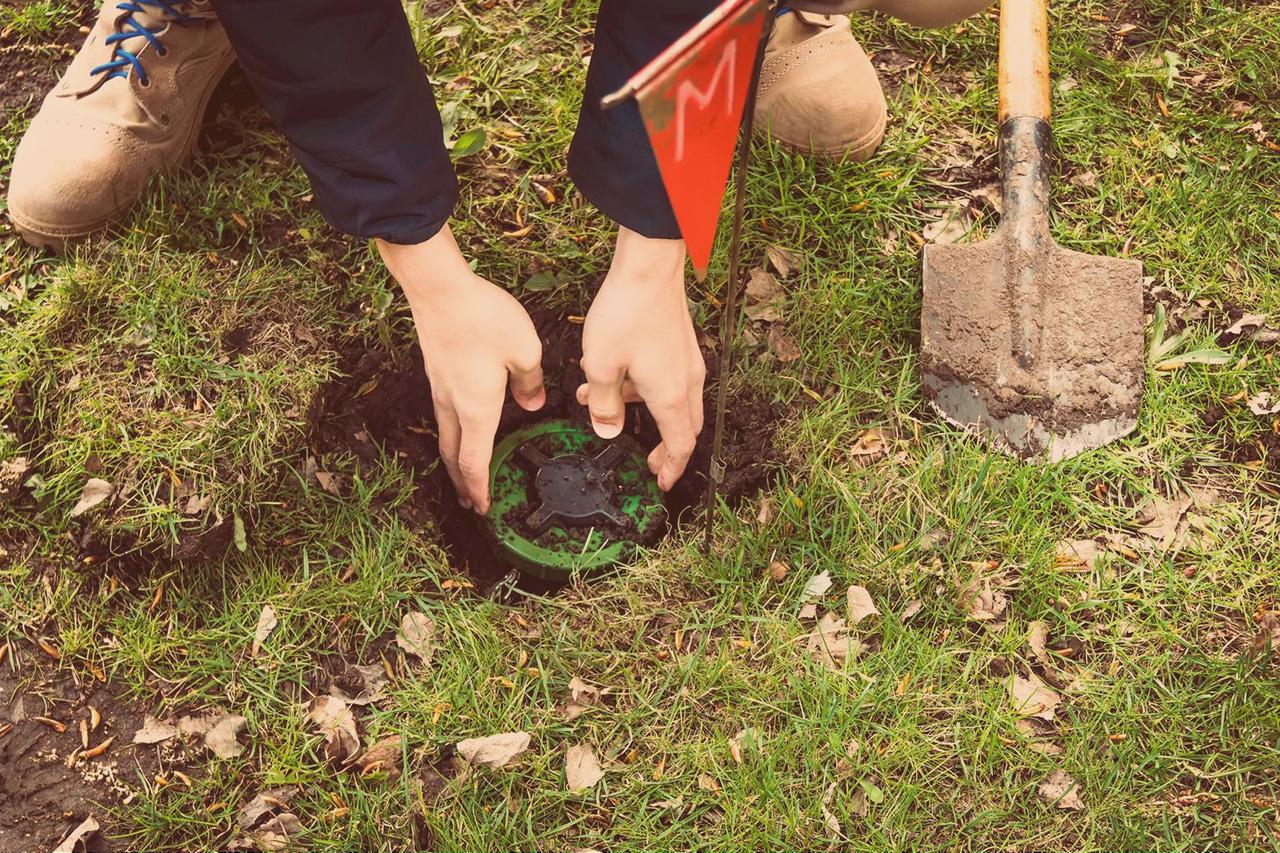
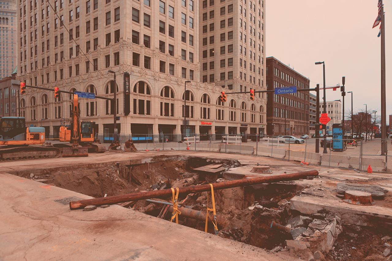
- Reduce utility strikes
- Measurements are accurately positioned
- Find different-sized objects at different depths in one scan
Applications
Utility Mapping
Reveal buried hazards, boost detection, cut costs, and enhance safety – all while exceeding industry standards.

Add Value to Utility Mapping
Industry-leading Insights
Collect data efficiently and provide a dense, high-resolution, three-dimensional view
Our technology lets our users detect subsurface utilities at any given depth. The data is collected efficiently and provides a dense, high-resolution, three-dimensional view of the subsurface.
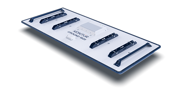
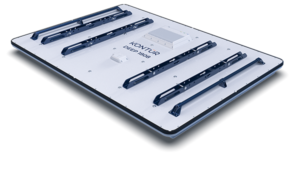
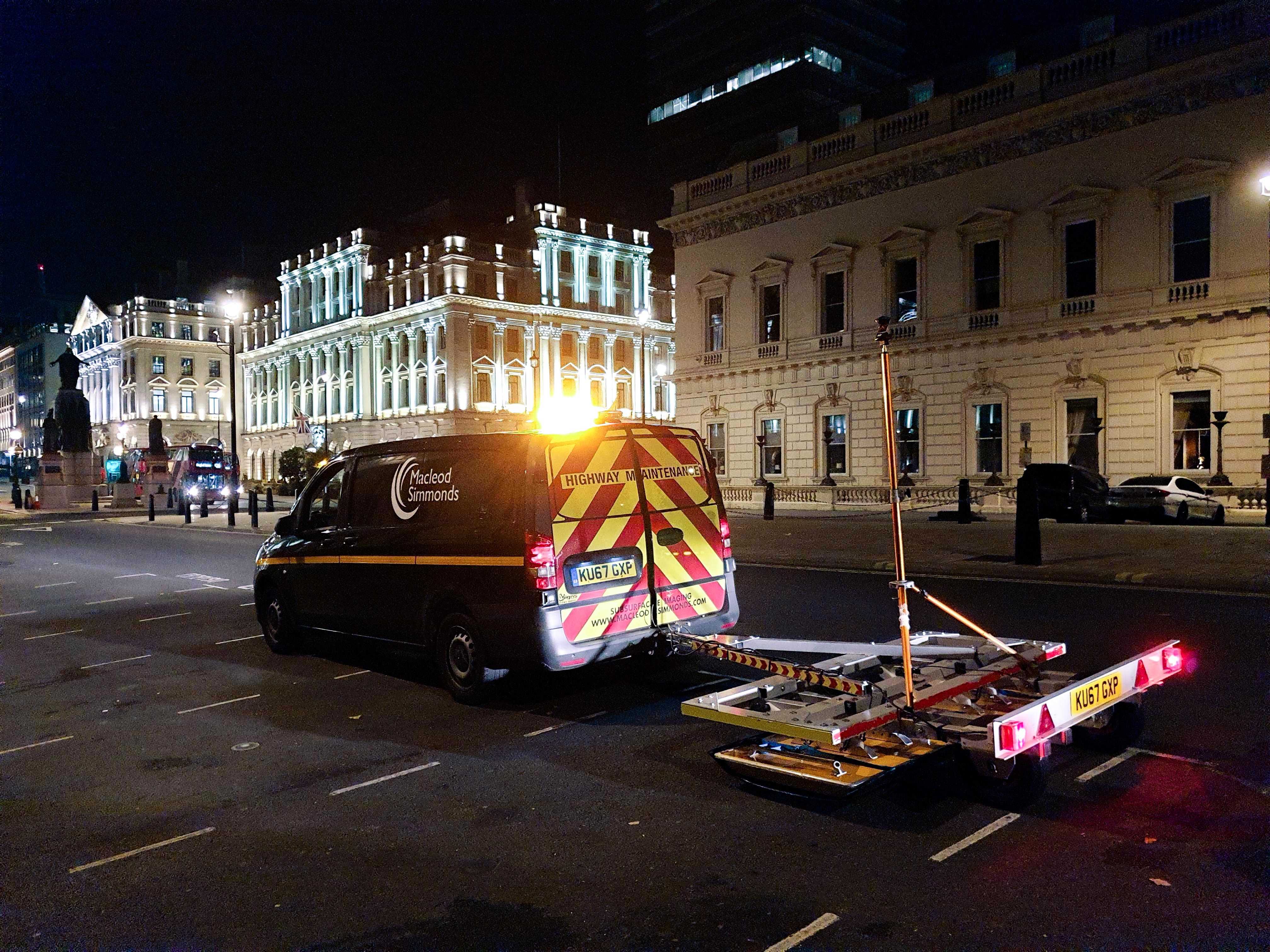
Our standard ground-coupled array can be vehicle towed and hand pushed.
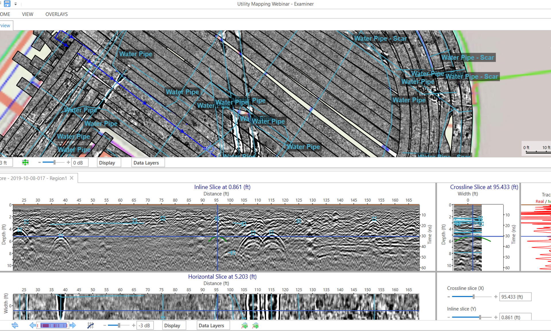
Explore the data in an intuitive interface
No matter the size of your project, Examiner™ lets you explore the data in an intuitive interface.
Unrivaled positioning, data resolution, and software performance is combined to provide the highest-quality subsurface imaging.
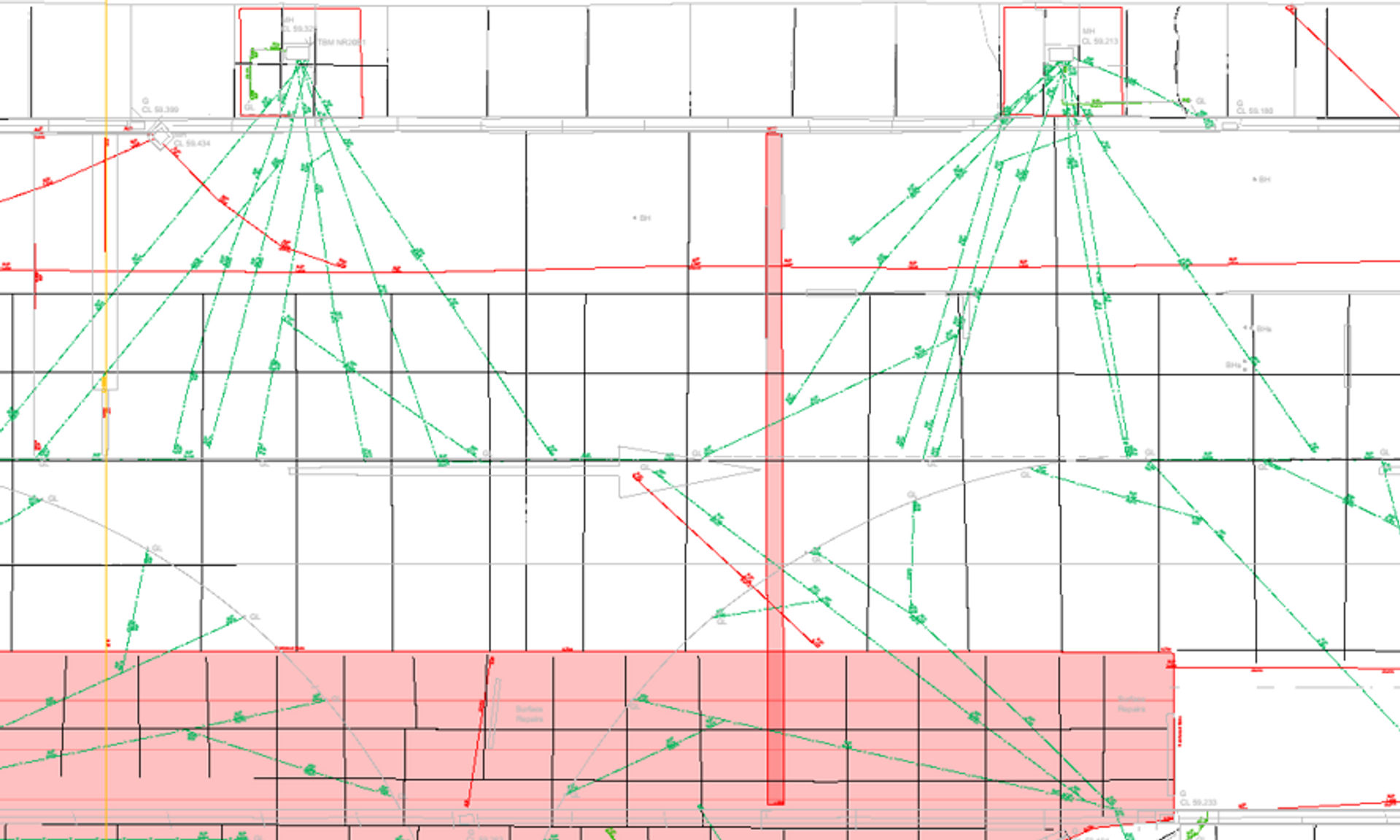
Export in 3D
The detected subsurface utilities can be exported in 3D, ready for drawing production, site assessment and model building.