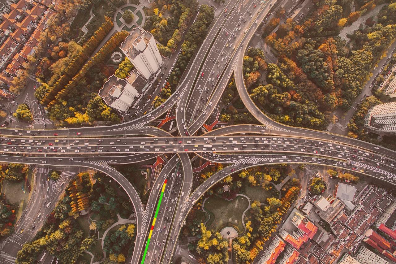
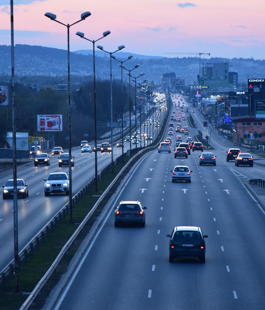
Roads and highways are the backbone of modern mobility, enabling the efficient movement of goods and people, driving economic growth, enhancing connectivity, and fostering social cohesion. Keeping these vital infrastructures in optimal condition ensures safety, reduces travel time, and lowers vehicle operating costs.
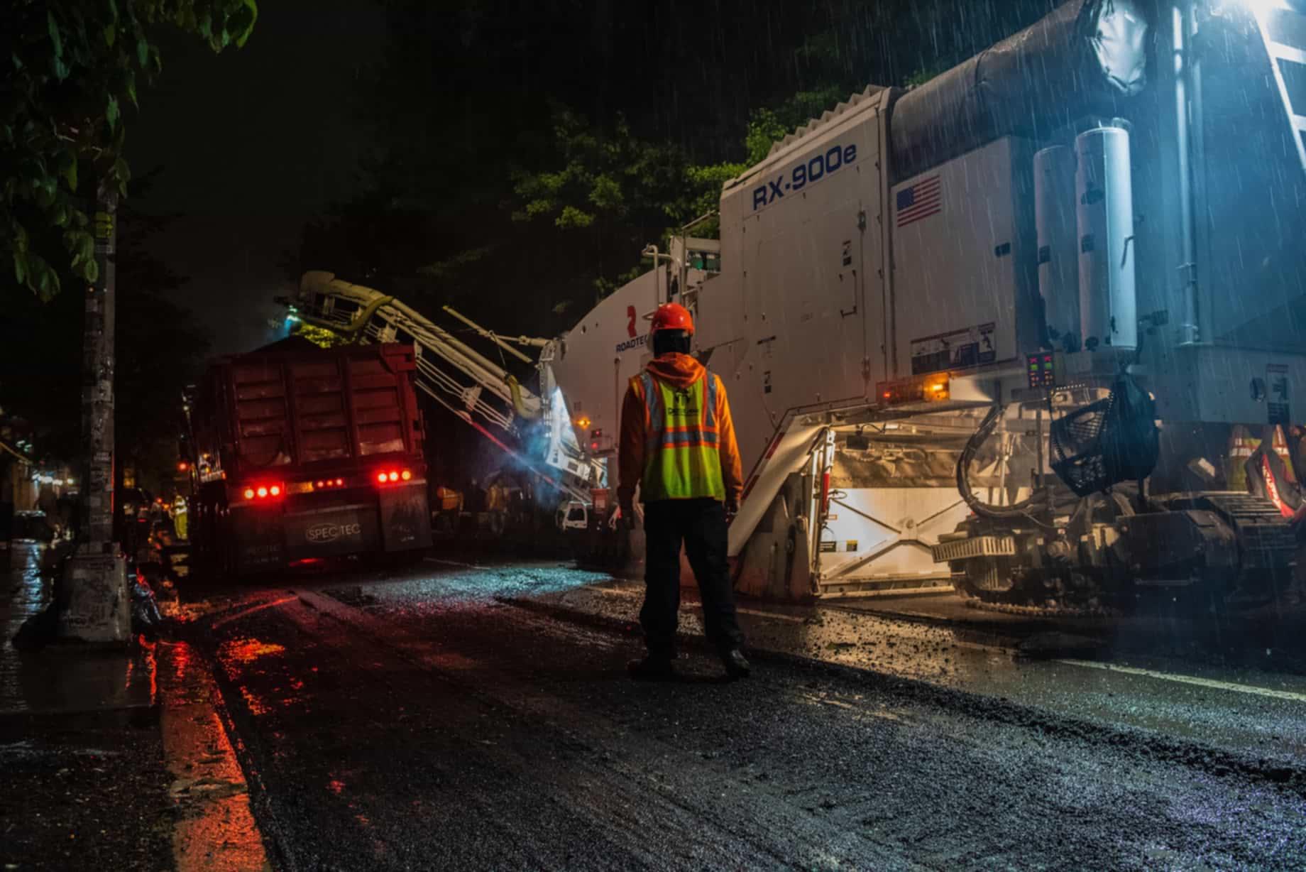
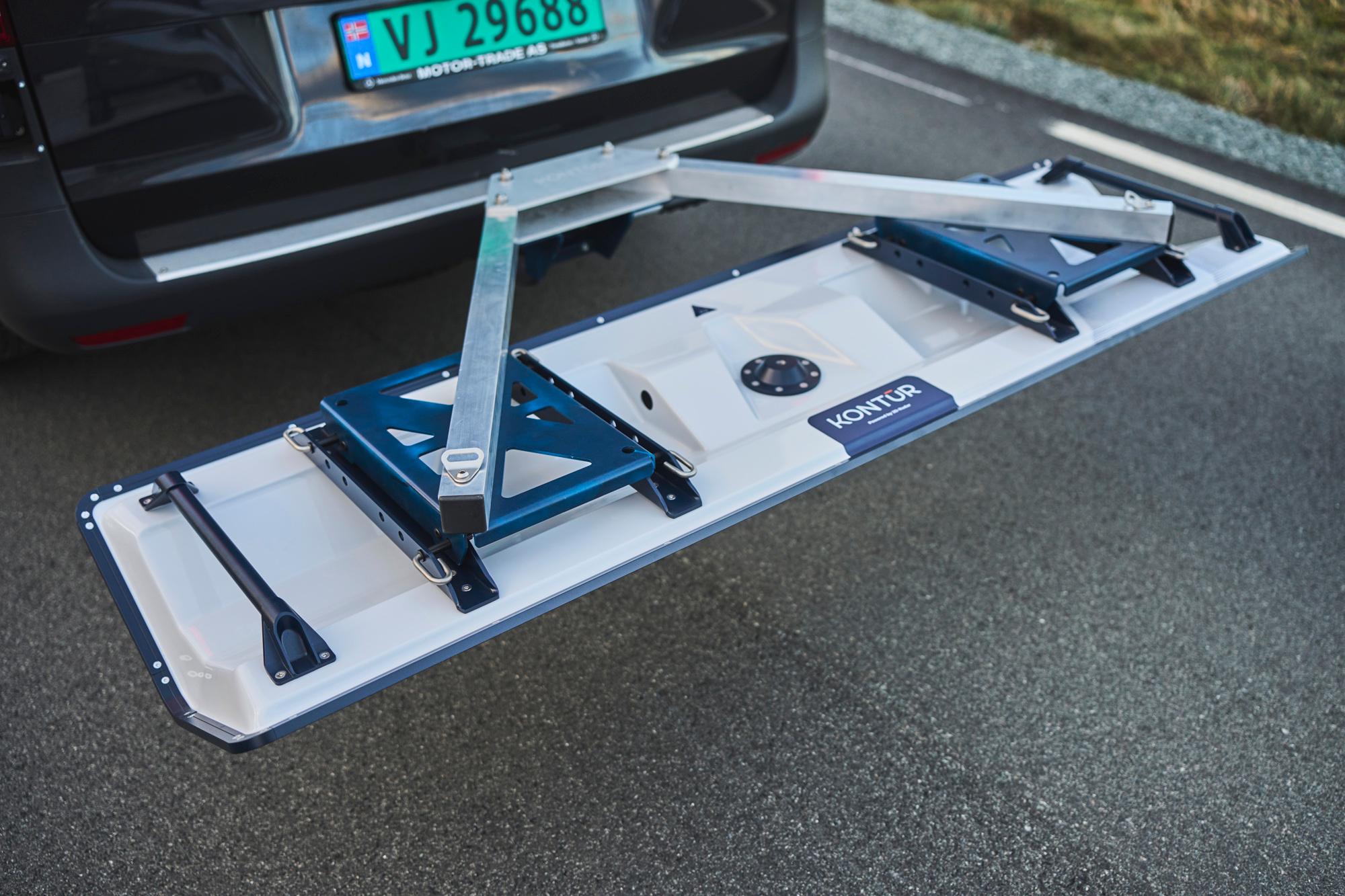
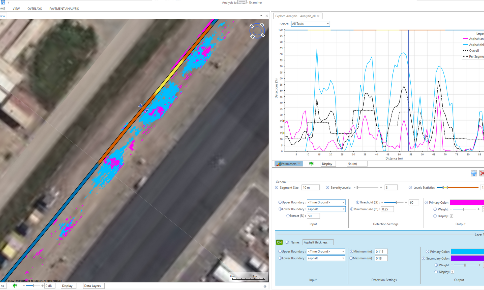
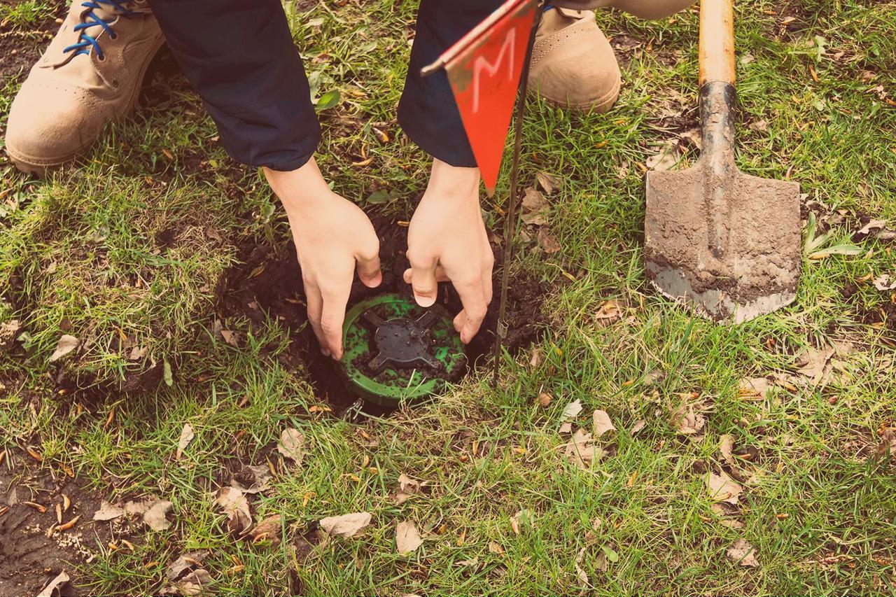
Maintaining highways efficiently requires advanced, non-destructive methods to assess subsurface conditions without disrupting traffic or damaging the roadway.
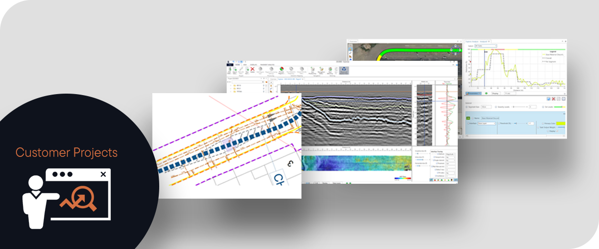
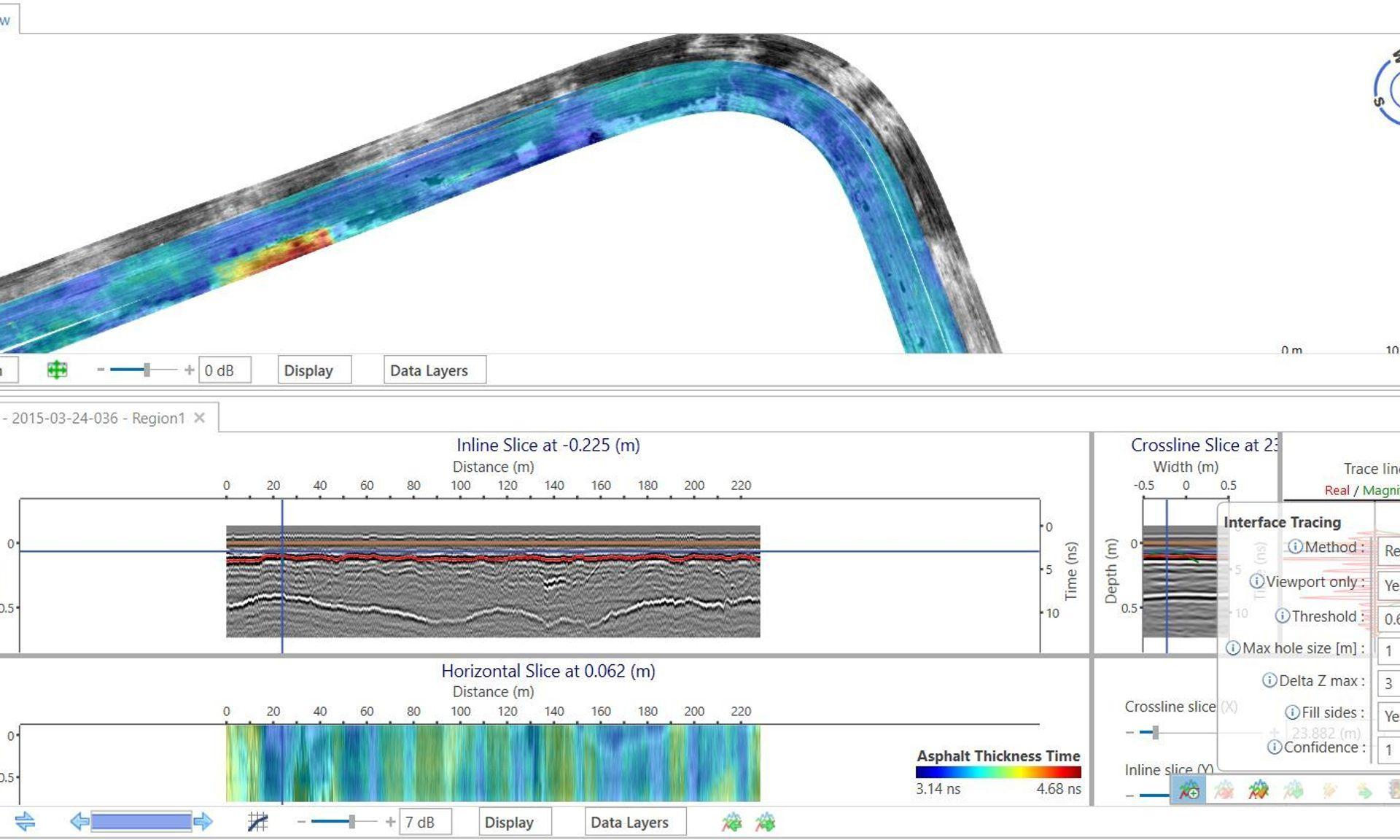
Our GPR system provides a fast, reliable, and non-invasive solution for detecting hidden issues such as voids and structural weaknesses. By enabling data-driven decision-making, our technology helps road authorities and maintenance teams prioritize repairs, extend pavement life, and optimize maintenance budgets – all while minimizing downtime and avoiding costly, unnecessary excavation.