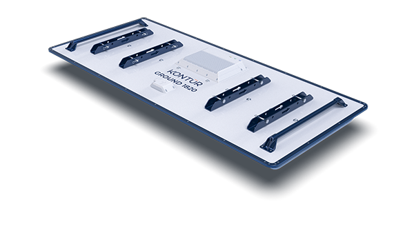
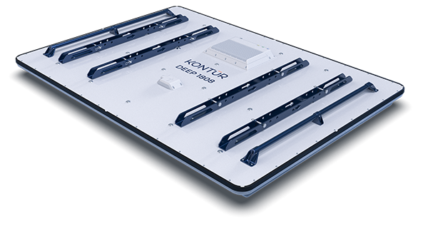
- Efficient large-scale data collection
- 3D data collection in a single travel direction
- Software built to handle large data sets
- Optimum resolution at all depths
- High-resolution birdseye view into the ground
- GPS & total station positioning
Applications
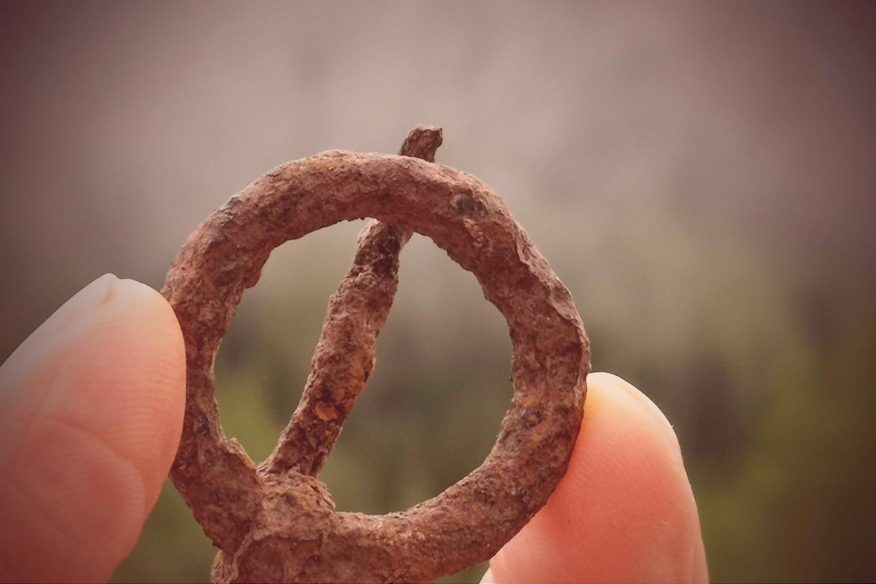
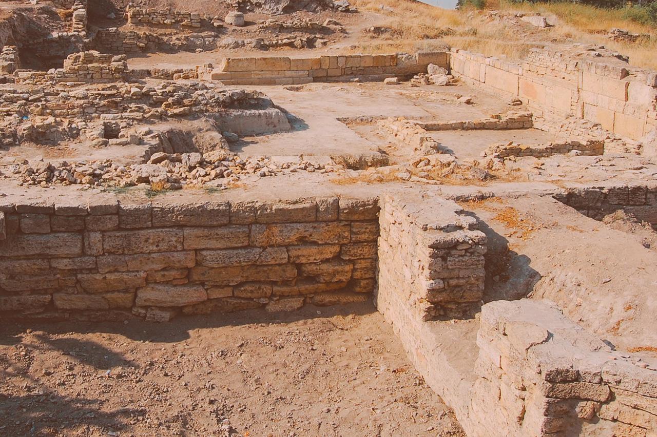
Archaeology
Rapid subsurface mapping does the important job of uncovering details about our common past easy, fast and predictable.
Add Value to Archaeology Investigations
Industry-leading Insights
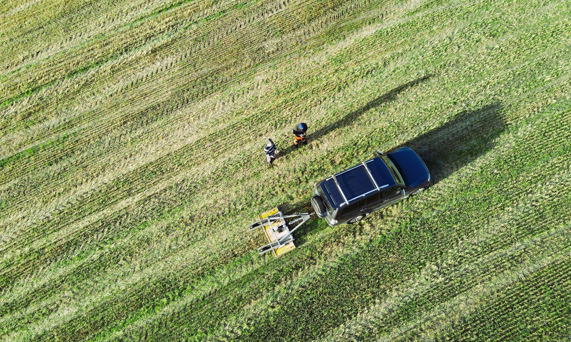
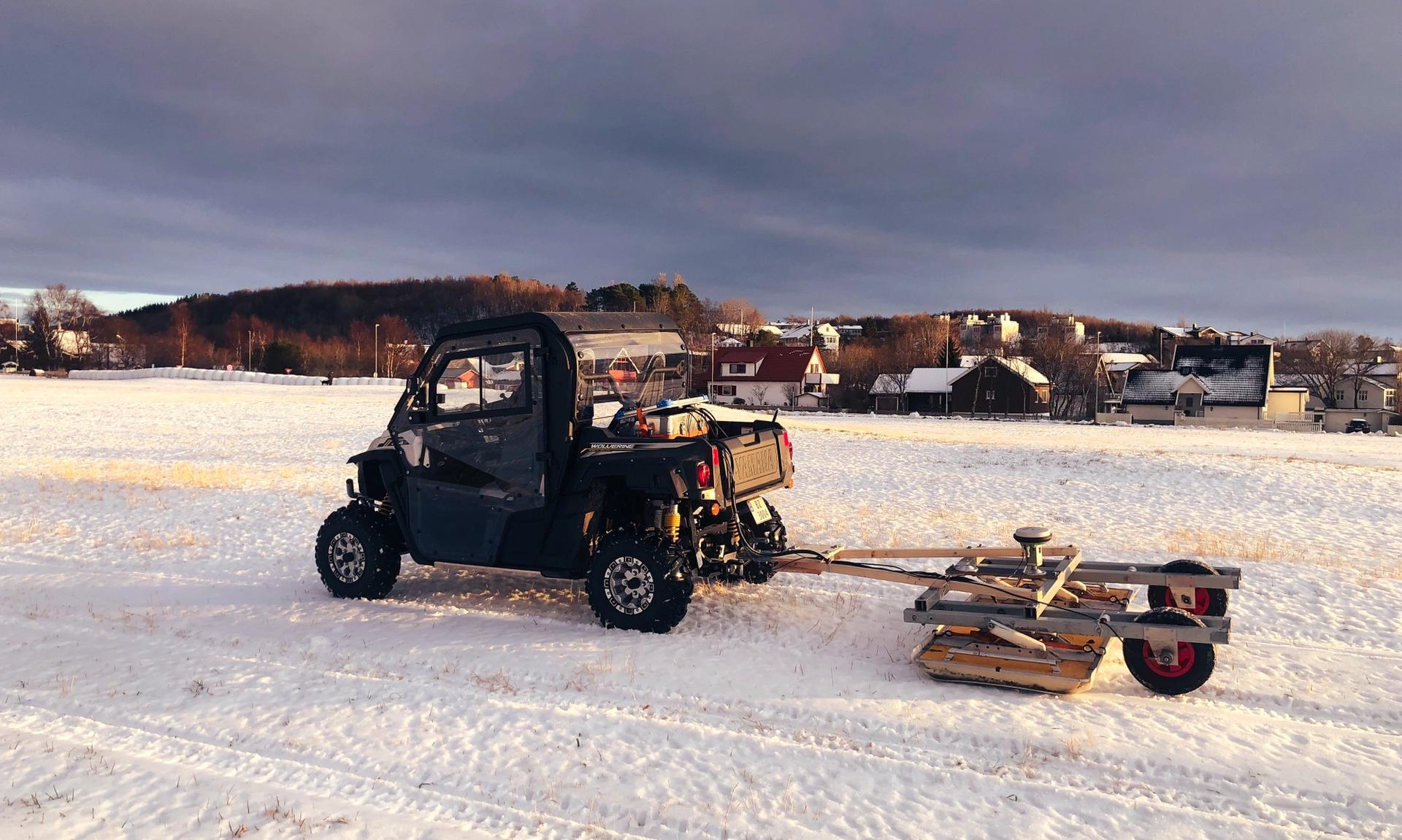
Flexible mounting options and various array
Capturing areas for archaeological studies has never been easier. Thanks to the flexible mounting options and various array sizes our products hold.
A full 3D coverage can be completed efficiently with minimal components and cabling required.
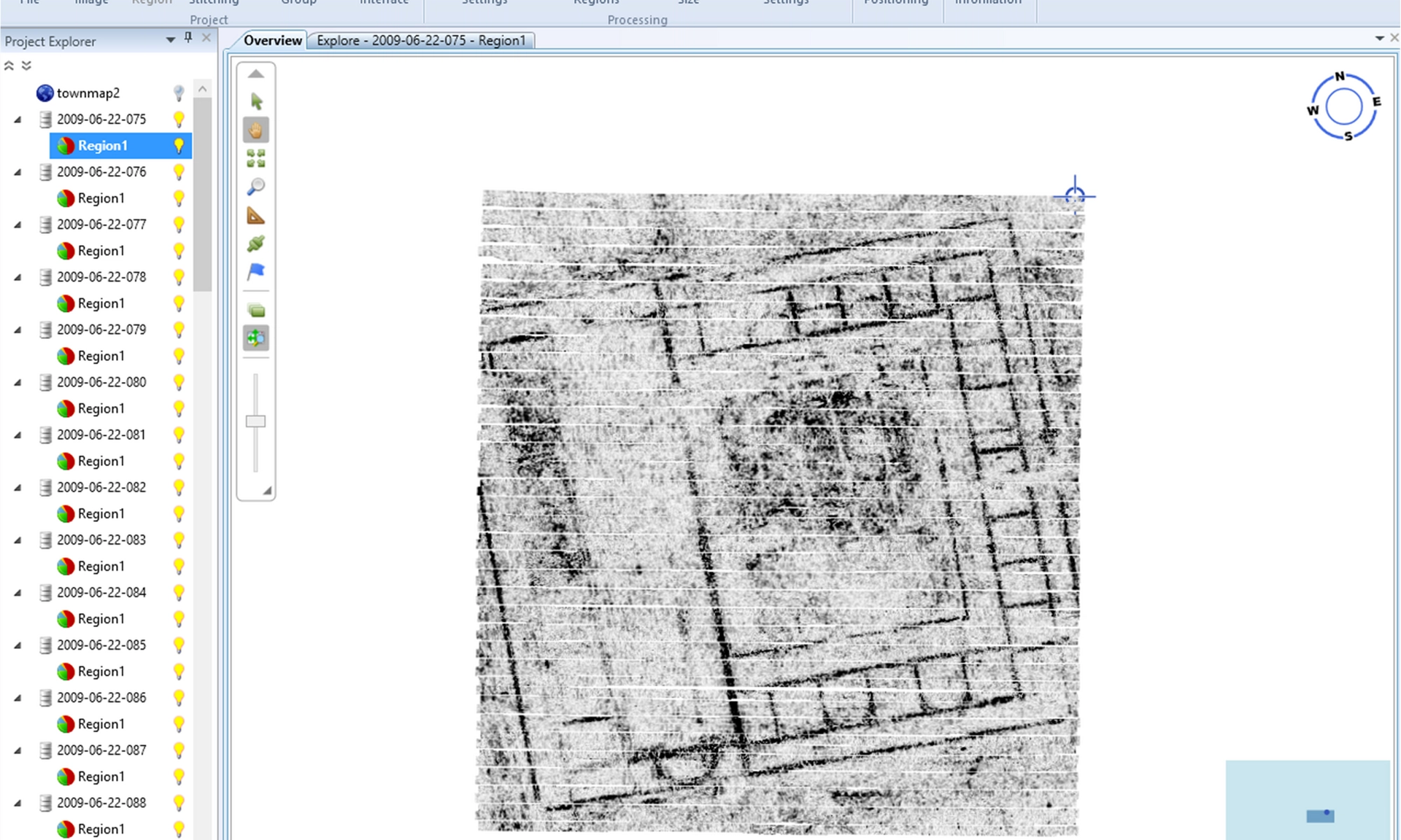
View, slice and edit large data
View, slice and edit large data sets smoothly, using the Examiner™.
Our technology ensures that the data set contains the best possible result by sampling in frequency steps from 30-4,500 MHz.
Multiple situations
Thanks to the versatility of our standard antenna, it can be deployed in multiple situations.
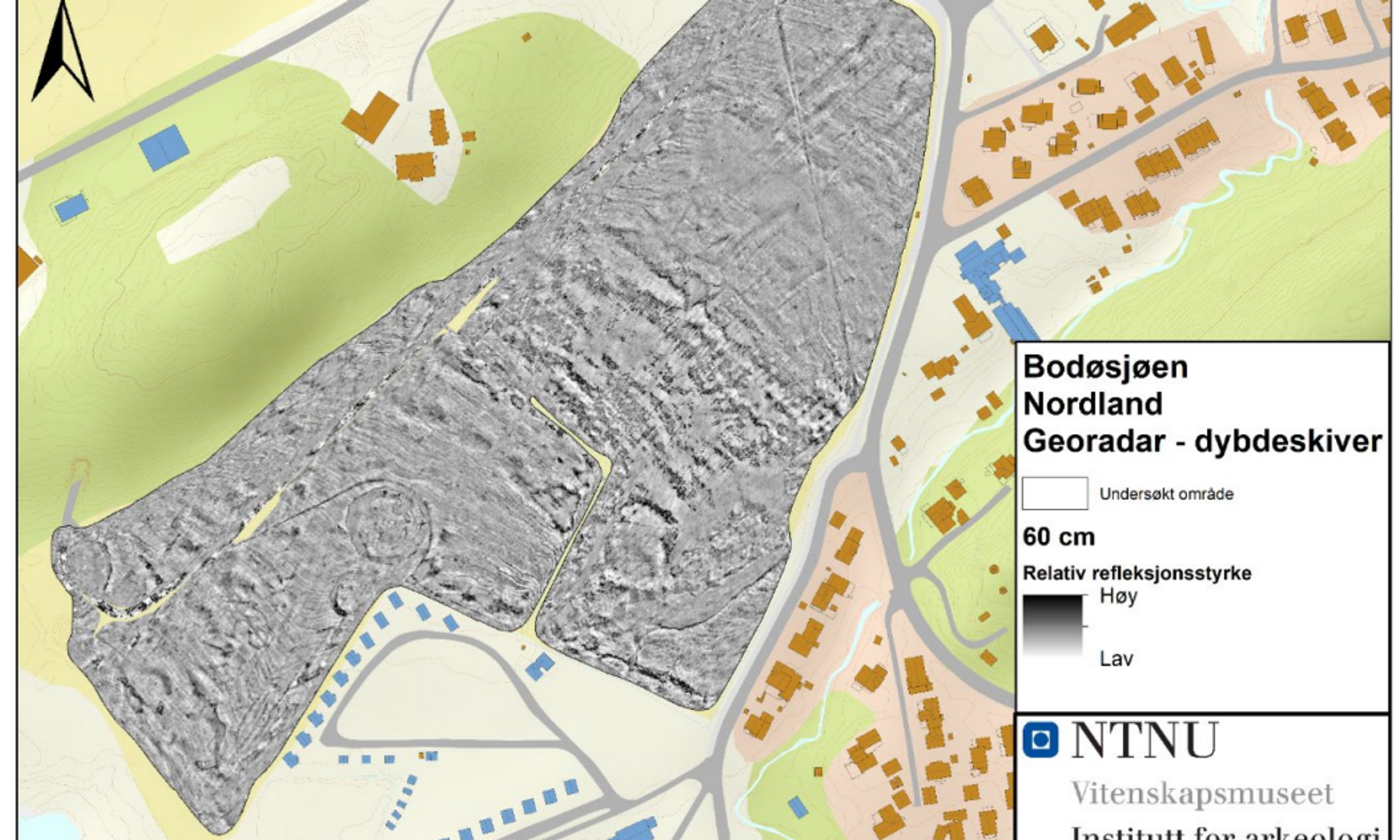
Compare to historical records
Since the data is geospatially referenced, buried artefacts can be recognised and compared to historical records. The coordinates can also be used for excavation if required.